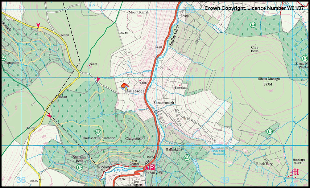
Killabrega Tholtan Map
Map extracts taken from the 2009 1:25,000 scale Outdoor Leisure Map, available from bookshops or from
http://www.gov.im/transport/planning/cartography.xml
<<
Index
>>
Crown Copyright. Department of Local Government and the Environment, Isle of Man. Licence Number W01/07
Reproduction of this image in any form is prohibited without prior permission.
Island Images Homepage
Crown Copyright. Licence Number W01/07